UMass CASA

Urban Test Bed

CASA and the North Central Texas Council of Governments (NCTCOG) are embarking on a five-year, $10 million project to create the Dallas Fort Worth (DFW) Urban Demonstration Network.  This project is centered on the deployment of a network of 8 dual-pol, X-band radars to demonstrate improved hazardous weather forecasts, warnings and response in a densely populated urban environment.  These radars provide weather hazard information at spatial and temporal scales that are relevant to urban decision-making and human response.  The project goals are to:

  • 1. To develop high-resolution, two and three-dimensional mapping of current and future atmospheric conditions, focusing on the lower atmosphere, to detect and forecast severe wind, tornado, hail, ice, and flash flood hazards.
  • 2. To create impacts-based, urban-scale warnings and forecasts for a range of public and private decision-makers that result in measureable benefit for public safety and the economy.
  • 3. To demonstrate the value of collaborative, adaptive X-band radar networks to existing and future sensors, products, performance metrics, and decision-making; and assess optimal combinations of observing systems.
  • 4. To develop models for federal/municipal/private partnerships that fund new observation technologies and on-going interdisciplinary weather system research.


Collaborators

North Central Texas Council of Governments (NCTCOG).  NCTCOG is a principal partner, through their office of Emergency Preparedness which serves the emergency management (EM) community.  CASA has signed a Memorandum of Understanding (MOU) with the NCTCOG to facilitate the installation and operation of the radar network, to conduct joint local and national fundraising, and to engage a variety of stakeholders from surface transportation, aviation, utilities, corporate headquarters, and arena events.  NCTCOG has formed a CASA WX Steering committee composed of local EMs and elected officials to guide the creation, operation and on-going sustainability of the Urban Demonstration Network.


National Weather Service.  The National Weather Service's Office of Science and Technology (NWS-OST) is evaluating becoming a principal partner in the project.  NWS-OST is interested in funding research in convective initiation and warnings, urban flash flood warning, and a project to integrate CASA weather into forecaster operations at the NWS Fort Worth Forecast Office and West Gulf River Forecast Center.  Close collaboration is planned with personnel at the Fort Worth Forecast Office and the West Gulf River Forecast Center. In addition, NWS Southern Region Headquarters, located in Fort Worth, will host the computational infrastructure for the  radar network, and assist delivering the real time data to the operational forecasters.


DFW Emergency Managers. CASA is also establishing strong connections to the large, vibrant regional EM community of over 300 EMs. The directors of Emergency Management for the cities Fort Worth and Dallas are co-chairs of the CASA/NCTCOG WX steering committee. Creating tailored products for the EM community will be a core focus of the Urban Demonstration Network.


Local Academic Organizations. In addition to the CASA universities, the DFW Urban Demonstration network will involve academic institutions within the Metroplex and beyond. University of Texas Arlington's Civil and Environmental Engineering program, and University of North Texas Natural Hazards and Emergency Management program are currently involved as collaborators for research, and are also evaluating hosting on their campuses. 


Other Stakeholders: CASA and the NCTCOG are in the process of attracting additional stakeholders who have an interest in the low level data.  Discussions are underway with private emergency managers, Tarrant County Storm water management, data providers for mobile apps, transportation providers and utility companies.


Components of the Network

Sensors. We plan to operate an 8-node, multi-Doppler, dual-polarimetric, X-band radar network covering 12 out of the 16 counties in the Metroplex, and the majority of the 6.5 million people in the region.  Lowest beam coverage is planned at an average 270 m AGL (ranging from 100 - 500 m) with 100 m gate spacing. The first four radars  have been moved from Oklahoma to Texas; they are being refurbished, and will be installed in the Metroplex in time to begin operations by spring, 2012. CASA will take advantage of existing sensors, such as WSR-88D, TDWR and rain gages for creating new products and for validation purposes. In addition, as a result of the network, we expect additional private, federal, state and academic organizations to integrate additional sensors into the test bed.  


IT infrastructure. IT infrastructure for data mining, radar control, and data dissemination will be housed at NWS Southern Region Headquarters (SRH). SRH intends to provide a T3 line into the Fort Worth Dallas Weather Forecast Office to ensure data flow, assist with integrating CASA data into AWIPS2, and create web-based interfaces that would allow research in on-demand forecasts/nowcasts, and experimental product display.  In addition, the University of Oklahoma is providing supercomputer time to run assimilation and numerical weather prediction algorithms.


Products. CASA will offer a suite of high-resolution products to DFW stakeholders, the National Weather Service, for research and to demonstrate that value of the data to stakeholder groups.   These products include real-time detections of severe wind events, hail, and tornados; accurate rainfall estimates; and forecasts ranging from 10 minutes to 3 hours.
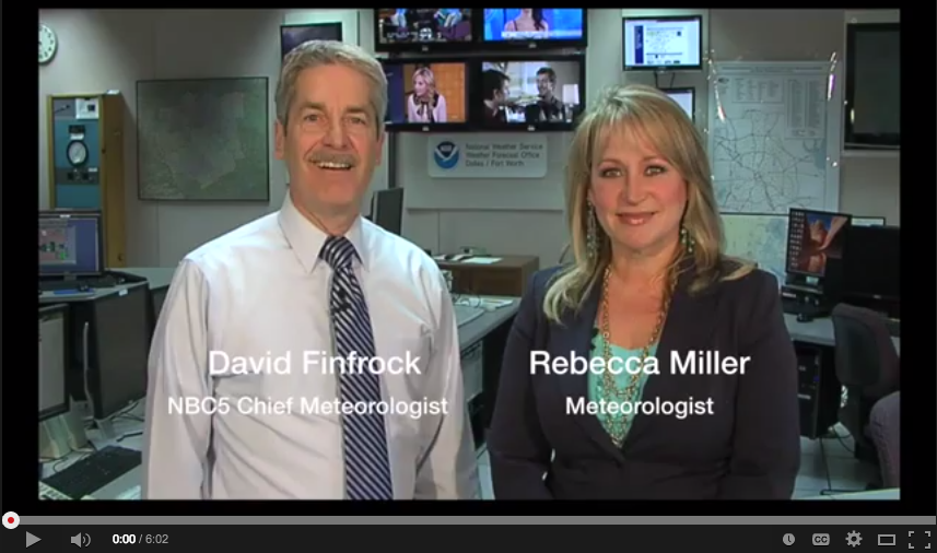
 

Research and research-to-operations. Broad research areas to be addressed are:

  • Urban flooding and hydrology sensing, forecast, decision making and impacts
  • Hydrometeor identification, forecast, decision making and impacts
  • Low level wind sensing, forecast, decision making and impacts
  • Network of Networks demonstration
  • Warn-on-forecast research


We are currently identifying impacts-based, end-to-end projects that could be conducted collaboratively with DFW stakeholders and NWS forecasters.  An example project would be to evaluate whether high resolution QPE coupled with urban-scale hydrological models can determine more accurately which roads will flood, and to develop notification strategies for NWS forecasters and emergency managers that impact the driving behavior of the public.  Metrics to be evaluated could include: the reduction in flash-flood warning size, reduction in hazardous driving practices, more efficient use of emergency and public works personnel, and associated cost savings.  In such a project, the driving public, local EMs, NWS forecasters, and transportation managers would collaborate with academic researchers across all of its disciplines to demonstrate this value.


Ownership/operations model. Together with the NCTCOG, CASA is developing a community-based model for supporting the installation and ongoing costs of operating, maintaining, amanaging and expanding the radar network. The radars themselves will continue to be owned by university and industry partners involved in the project, and made available to the project on an annual-costs-recovery basis, primarily for research, marketing, and demonstrating the benefits of boundary layer sensing for urban severe weather warning and response. The network infrastructure will be locally owned and supported. In addition, funds will be sought to cover on-going research from many different sources.  The longer term vision is to expand the network to cover the entire 16 county region, and to transfer ownership and operations to local stakeholders, as a subscription based effort, while establishing the Dallas Fort Worth Urban Demonstration Network as a national-level urban test bed for multidisciplinary research and technology transfer for radars, socio-technical system design, meteorology, hydrology, decision-making, and socioeconomics of weather.

Academic Partners::

Please wait...