Mind the Gap
The need for low-altitude radar coverage, particularly in the planetary boundary layer, is increasingly evident and a growing list of applications demands better, more comprehensive low-level radar data. When tornadoes, land falling hurricanes, and other hazards strike, storm spotters and emergency managers need detailed information close to ground level to support alerting, evacuation and first response activities. In addition, applications such as improved forecasting and warning of localized hazardous weather; wind mapping for fire fighting; tracking airborne toxic releases; monitoring bird migration; enhanced roadway weather forecasting; and wind power forecasting are among the many existing and emerging applications that need better low-altitude radar coverage. Such needs cannot be met with networks composed of long-range radars because of the fundamental inability of such systems to provide comprehensive low-altitude coverage.
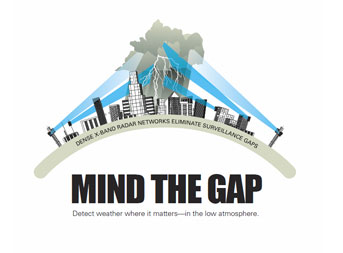
The National Science Foundation (NSF) Engineering Research Center for Collaborative Adaptive Sensing of the Atmosphere (CASA) is developing a different approach to weather radar. CASA's concept is to use large numbers of small radars spaced several tens of kilometers apart and arranged to operate in a collaborative network. A network comprised of such radars would not suffer blockage from Earth curvature or terrain and would be capable of providing coverage from near ground level up to the tops of storms.
For additional information on partnering with CASA, please contact Apoorva Bajaj via email innovation@casa.umass.edu .
|